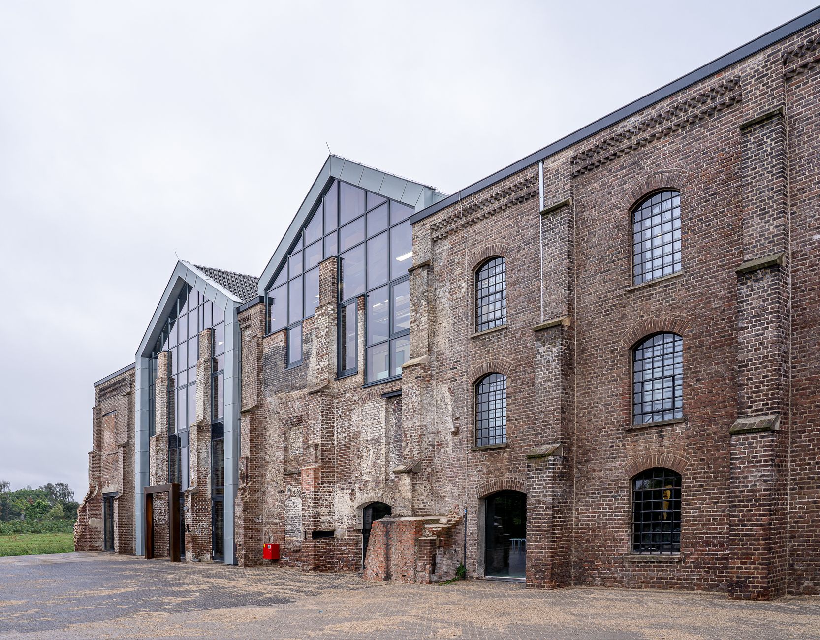
Land surveying for a Puget Sound redevelopment site should be scoped around the existing improvements the project team must preserve, remove, connect to, or design around. Buildings, pavement, curbs, walls, drainage, utilities, access, landscaping, and neighboring conditions create relationships that architects and engineers may need to preserve, remove, connect to, or design around.
The land survey should answer the redevelopment questions
A generic request to “survey the site” leaves important choices unresolved. The design team should identify which existing conditions affect feasibility, demolition, grading, drainage, access, utilities, permitting, and construction. The surveyor can then define the mapping limits, feature list, elevation detail, control, and deliverables around those decisions.
This does not mean every visible object must be located. It means the team should decide deliberately which objects and relationships the project will use.
Existing improvements that often change scope
Buildings and structural features
Redevelopment work may need building footprints, entries, finished-floor elevations, roof-drain connections, canopies, loading areas, foundations, retaining walls, stairs, ramps, or other features. The required detail depends on whether a structure will remain, be modified, or be removed.
Pavement, curbs, and access
Parking geometry, curb lines, sidewalks, driveways, loading zones, gates, and accessible routes may affect site circulation and grading. If the design connects to an adjacent street or alley, the useful survey limit may extend into the right of way.
Drainage and grade relationships
Spot elevations, contours, walls, slopes, channels, catch basins, and visible discharge points help the civil team understand how water moves across an improved site. The needed density should be set by the design task, not a default interval copied from another project.
Visible utility evidence
Manholes, valves, meters, hydrants, poles, vaults, cabinets, and marked surface evidence can support coordination. The scope should state how record information, public locate markings, and any separate subsurface utility investigation will be handled. A topographic survey alone should not be assumed to identify every underground facility.
Trees, landscaping, and site edges
Trees, planters, fences, walls, and neighboring improvements may affect demolition, protection, access, or review. If critical areas, protected trees, shorelines, or other regulated conditions are involved, the project team should identify the appropriate specialist and current agency requirements rather than assign every determination to the surveyor.
Agency checklists help define the feature list
Local guidance illustrates why survey scope is project-specific. Bellevue’s published boundary and topographic survey submittal requirements identify property, right-of-way, easement, control, and existing-feature information for the applications covered by that document. Bellevue also maintains a broader set of plan submittal resources organized by project and document type.
Seattle’s site plan guidance addresses property boundaries, legal descriptions, structures, and site features, while warning applicants to confirm current requirements for their applications. These examples are useful starting points, but neither should be applied automatically outside its stated jurisdiction and project type.
Questions to settle before fieldwork
| Question | Scope decision |
|---|---|
| What stays, changes, or is removed? | Sets the required detail for structures and improvements. |
| Which disciplines will use the base? | Aligns feature, elevation, surface, and file needs across architecture and engineering. |
| How far beyond the parcel must mapping extend? | Captures frontage, access, drainage, utilities, or adjacent relationships when needed. |
| Is boundary work included? | Separates topographic mapping from legal boundary determination and record research. |
| How will utility information be developed? | Distinguishes visible evidence, records, locate marks, and separate investigation. |
| What control and deliverables are required? | Defines datum, CAD, surface model, PDF, and future construction use. |
Plan for changing conditions
Occupied sites, demolition, temporary access, active utilities, and ongoing construction can change between survey and design. The team should record the survey date, identify features that may change, and decide whether later supplemental fieldwork will be needed.
A better base begins with a better scope
The most useful Puget Sound redevelopment survey is not the one with the longest feature list. It is the one that gives the project team reliable information for the decisions ahead and states the limits of that information clearly.
Terrane supports commercial redevelopment, land-use, and civil design work across Washington. Project teams can share the site, design phase, agency checklist, existing records, and deliverable needs with Terrane to define the right topographic survey scope.