Suppose a utility record shows a buried line crossing a proposed foundation, while measured surface structures do not match the record’s positions. Moving the drawn line to fit those structures would replace one uncertainty with an unsupported new route. Keep the record and the field observations separate, then investigate the crossing that could change the design.
Show the evidence behind each line and point
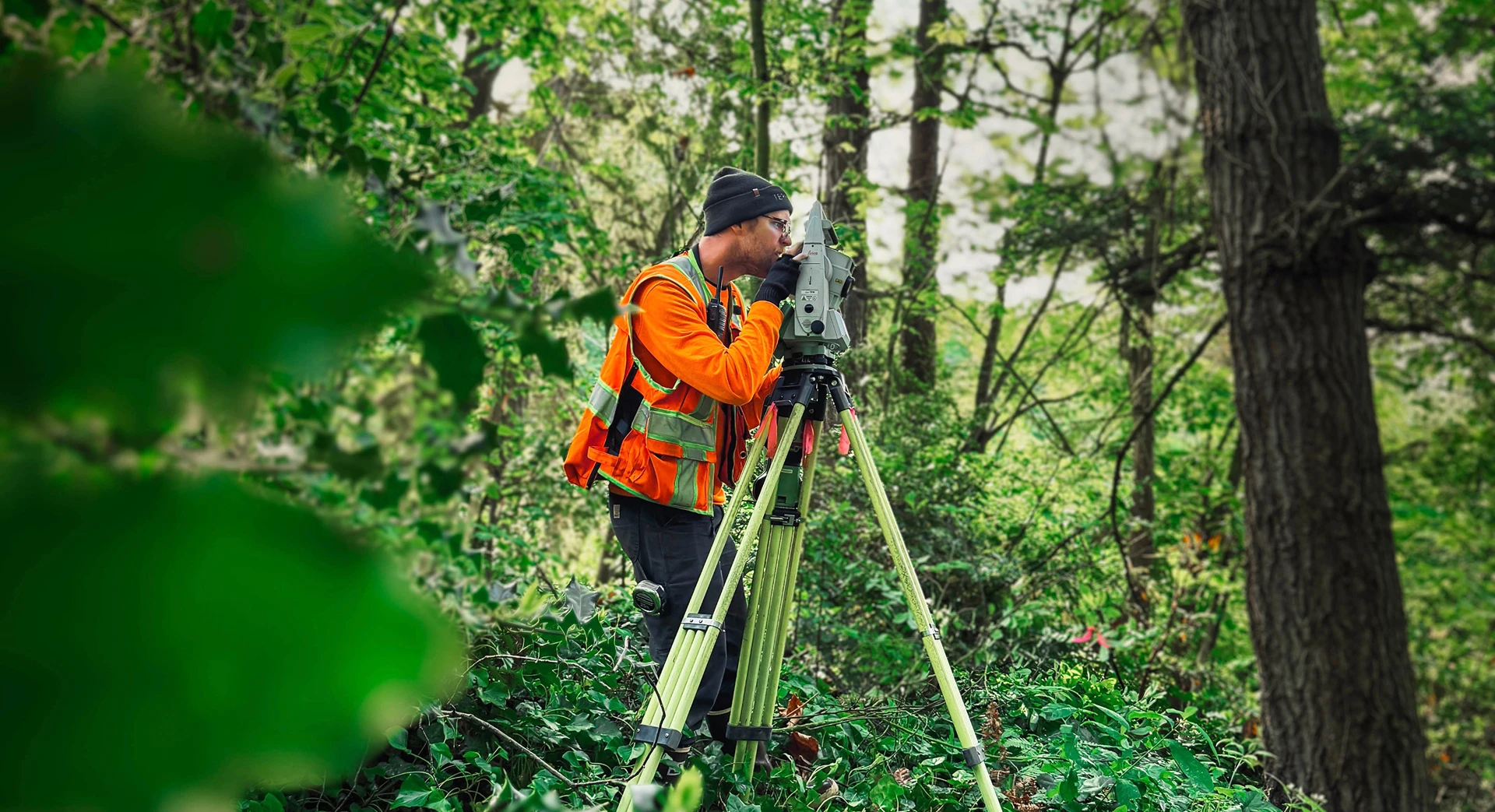
A surveyor can locate accessible manholes, valves, boxes and other surface features within the agreed field scope. A utility owner’s drawing, GIS layer or older as-built may depict a buried alignment, but its position comes from a different source. Even two measured structures do not prove the route between them. Label the source and date of the record and identify locator markings and investigation results separately from surveyed surface features and record information.
For Seattle SIP base maps, SDOT’s Survey and Basemap guide requires utility-data source information and notes for locator or potholing information. Terrane’s guide to underground utilities and topographic surveys explains why a topo alone cannot confirm a buried line’s position.
Resolve the crossing the design depends on
In the foundation example, the useful next question is whether the line actually occupies the proposed excavation area. The engineer should compare the record’s date and coverage with the observed features and request better utility-owner information where available. If the conflict remains material, the engineer should specify the additional investigation needed before finalizing the affected design. The method and safety controls depend on the utility and site; they are not included automatically in a standard topographic survey.
Keep the conflicting evidence visible on the design base until the investigation resolves the design-critical uncertainty. When excavation is planned, the responsible party must separately follow applicable Washington one-number locator notification requirements. A design-stage record review does not replace that process.


