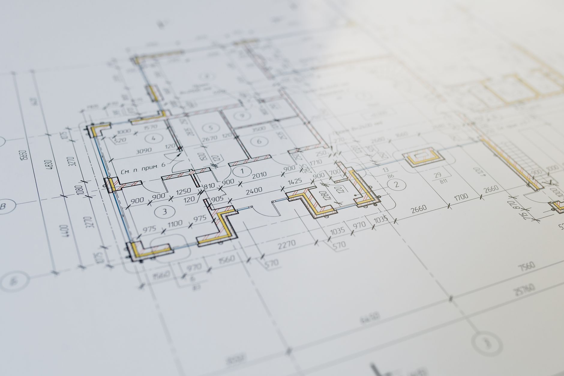
A topographic survey is needed when civil design must respond to the site’s existing elevations, improvements and physical features. It gives the design team a measured base for grading, drainage, utilities, access and the relationship between proposed work and existing conditions.
The correct question is not simply whether a project “needs a topo.” It is what area and level of detail the civil engineer needs to design the next phase without relying on assumptions.
What a topographic survey provides
A topographic survey measures selected horizontal locations and elevations across a defined area. The resulting base map may show contours, spot elevations and existing features relevant to the project.
Depending on the agreed scope, those features can include:
- Buildings, walls, fences and other improvements.
- Roads, curbs, sidewalks and pavement edges.
- Drainage structures, channels and visible surface-water features.
- Visible utility structures and appurtenances.
- Trees, vegetation limits and significant landscape features.
- Slopes, grade breaks and retaining structures.
- Adjoining frontage or off-site connections.
- Boundary or easement information when included in the assignment.
A topographic survey documents observable site geometry. It does not determine subsurface soil stability, replace geotechnical investigation or automatically locate every underground utility. Those services require separate methods and coordination.
Topographic information is commonly needed before site design
New development and substantial redevelopment usually require an accurate existing-conditions base. Civil engineers use that information to position improvements, evaluate grading relationships, develop drainage concepts and connect proposed infrastructure to existing systems.
The survey limits should cover more than the building footprint when the design depends on surrounding conditions. Driveway connections, frontage improvements, drainage paths, utility connections and transitions to adjoining grades may require off-site or adjacent information.
Grading and drainage design depend on measured elevations
Grading plans must connect proposed elevations to the existing ground. Without reliable topographic information, the design team cannot accurately calculate transitions, slopes, walls, accessible routes or earthwork relationships.
Drainage design also depends on how water currently moves across and around the site. The survey may need to capture high and low points, swales, ditches, structures, pipe inverts that can be accessed, and adjoining grades that influence flow.
The civil engineer should define the required limits and detail. A general-purpose contour map may not contain enough information for a specific drainage connection or tight urban grading condition.
Utility design requires coordinated existing-condition data
Visible utility features can be surveyed, but underground utility information often comes from record drawings, utility owners, private locating services or other sources. The project team should decide who will arrange utility designation and how that information will be incorporated into the design base.
The scope should identify which systems matter, what visible structures will be measured, whether accessible inverts are required, and how far off-site the survey must extend to reach proposed connections.
This distinction prevents a common misunderstanding: a topographic survey that shows visible utility structures is not necessarily a complete underground utility investigation.
Renovations and additions may need targeted topography
A project does not need to be a ground-up development to require topographic information. Building additions, parking changes, accessible-route improvements, drainage corrections, utility replacements and retaining walls may all depend on measured elevations and existing features.
For a limited project, a targeted survey can sometimes focus on the affected area and its connections. The designer and surveyor should agree on those limits before fieldwork so the survey does not stop short of a critical transition.
Permitting and agency review can change the required scope
Jurisdictions may require particular information for land-use, grading, drainage or civil permits. Requirements can vary by project type and location. The design team should review the applicable submittal checklist and communicate relevant requirements before the survey begins.
Waiting for the first review comment to identify missing survey information can create a return trip and redesign. Early coordination among the owner, architect, civil engineer and surveyor is usually more efficient.
Define these items before fieldwork
A useful topographic-survey request should answer:
- Survey limits: What on-site, frontage and off-site areas must be covered?
- Design purpose: Is the survey supporting feasibility, permitting, final civil design or construction?
- Required features: Which buildings, utilities, trees, drainage elements and improvements must appear?
- Vertical requirements: What datum, benchmark information and elevation detail does the engineer require?
- Boundary relationship: Must the topographic information be tied to a resolved property boundary or easements?
- Utility responsibility: Who supplies record information or private utility locating?
- Deliverables: What CAD, surface, map and signed-document formats are required?
Use current data at the right stage
Topographic information can become outdated when demolition, grading or construction changes the site. Teams using an earlier survey should confirm whether the existing conditions still match the design purpose.
Surveying too small an area can force additional fieldwork. Surveying too early can produce a base that no longer reflects the site when final design begins. The right timing depends on the project milestone and the likelihood of physical change.
A good topo removes design assumptions
A topographic survey is valuable when it gives the civil engineer enough measured information to design with confidence. That requires more than collecting elevations. The survey limits, visible features, utility responsibilities, datum and deliverables must align with the work ahead.
Clear coordination before fieldwork produces a better design base and reduces the chance that missing information will surface during permitting or construction.