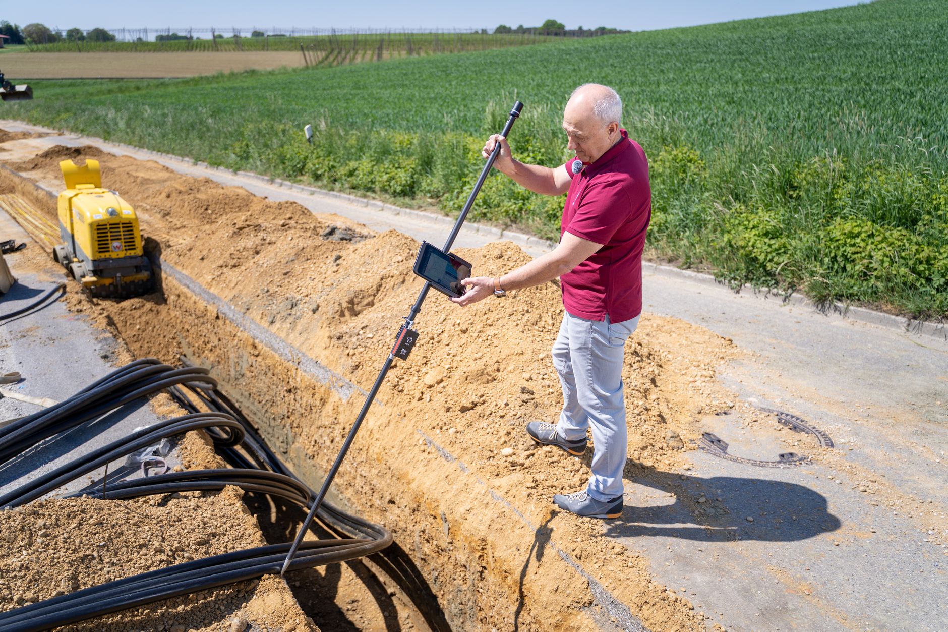
For the certification section of FEMA's Elevation Certificate, use a land surveyor, professional engineer, or architect who is authorized under state law to certify elevation information. In Washington, confirm the individual's current license and the scope of the requested work. Also ask the floodplain administrator, insurer, or other requester which form and information they need before arranging field measurements.
What FEMA requires for certification
Section D of FEMA's Elevation Certificate form specifies a surveyor, engineer, or architect authorized by state law to certify elevation information. That is more precise than saying only a land surveyor can sign every certificate. The certifier provides the applicable elevation data and signs the form; the requester determines why it is needed and whether other documentation is required.
What to verify in Washington
Ask who will measure the building and who will certify the form. For surveyors and engineers, verify the Washington credential through the Board of Registration for Professional Engineers and Land Surveyors. For architects, use the Washington Department of Licensing architect program. In each case, confirm that the individual is authorized to certify the specific elevation information. Confirm that the proposal includes the right building, flood map information, applicable datum, photographs, and completed form sections for the stated use. A certificate for a permit file, insurance discussion, or map amendment can involve different supporting steps.
Do you already have a certificate?
Check prior building and permit records before commissioning a new field visit. FEMA explains that an Elevation Certificate records elevation information for floodplain management and may also be used by property owners for insurance purposes. An older certificate may be useful background, but the requester should confirm whether it is acceptable for the present project or whether site or building conditions have changed.
The companion articles explain when a Washington home project may need a certificate and what to provide when requesting one. This article addresses the narrower qualification question. Terrane's surveying services page lists FEMA Certificates among the available services.
Ask one question before work begins
Tell the professional what decision the document must support, then ask who will accept and review it. The answer helps identify the correct form, the responsible certifier, and any additional site information before anyone measures the structure. Do not assume that obtaining a certificate changes the mapped flood zone or guarantees a particular insurance premium.