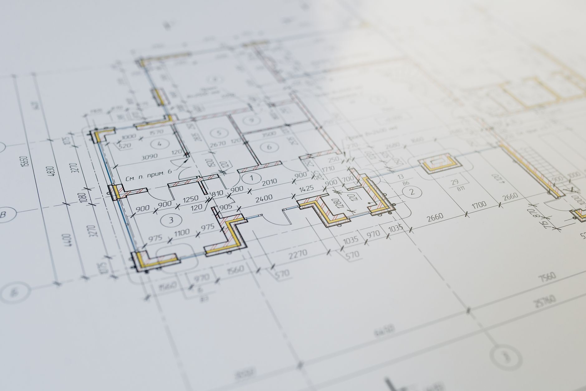
A boundary survey locates or retraces the lines and corners of an existing parcel. A subdivision survey supports the legal and regulatory process of dividing land into new lots. They answer different questions, and a Washington development project may need both.
The boundary survey establishes the existing framework. The subdivision process proposes and documents a new parcel configuration through the applicable local approval and recording process.
What a boundary survey does
A boundary survey evaluates documentary and physical evidence to determine the location of existing property boundaries. The surveyor may research deeds, plats, prior surveys and other records; recover and evaluate monuments; perform field measurements; and prepare the required map or documentation.
The work is not limited to plotting a deed description. Boundary determination requires the surveyor to reconcile the available evidence under applicable professional and legal principles.
A boundary survey may be needed when a project team must:
- Confirm the limits of an existing parcel.
- Evaluate setbacks or the location of proposed improvements.
- Investigate possible encroachments or occupation near a property line.
- Prepare for acquisition, design or permitting.
- Support easement, legal-description or land-use work.
- Recover or establish boundary monuments.
Washington’s Survey Recording Act establishes requirements for preserving evidence of certain land surveys and for recording survey information. Whether a particular assignment requires a record of survey depends on the work performed and the applicable requirements of Chapter 58.09 RCW.
What a subdivision survey does
A subdivision survey is part of creating new lots, tracts or parcels from existing land. It supports a land-use and platting process rather than merely documenting the current boundary.
In Washington, subdivisions and short subdivisions are governed by state law and local regulations. The classification and approval path depend on the proposed division and the jurisdiction’s adopted code. Chapter 58.17 RCW provides the statewide framework, while cities and counties administer the local application and approval process.
Surveying responsibilities can include:
- Establishing the exterior boundary of the parent parcel.
- Preparing the proposed lot and tract configuration.
- Coordinating legal descriptions, easements and dedications.
- Supporting preliminary and final plat documents.
- Setting required monuments and survey control.
- Responding to survey-related review comments and conditions.
- Preparing the final survey and plat materials for approval and recording.
The survey is one part of the subdivision process. Planning, civil engineering, access, utilities, drainage and other requirements may also shape whether the proposed lots can be approved.
The difference at a glance
| Question | Boundary survey | Subdivision survey |
|---|---|---|
| Primary purpose | Locate or retrace existing parcel boundaries | Create and document a proposed division of land |
| Changes ownership configuration? | No; it determines the existing boundary | Yes; approved and recorded documents create new parcels |
| Local land-use approval | Not inherently a subdivision approval | Required through the applicable jurisdictional process |
| Typical starting point | Existing deeds, plats, monuments and occupation | Resolved parent boundary plus development and jurisdictional requirements |
| Typical result | Boundary evidence, monuments and survey documentation | Approved and recorded short plat, plat or other applicable land-division document |
A boundary survey often comes first
A subdivision design depends on knowing the parent parcel’s actual boundary and area. If the exterior boundary is uncertain, the project team cannot reliably calculate lot dimensions, setbacks, access tracts or other design relationships.
That does not mean every boundary survey leads to a subdivision. It means boundary work is often an early technical input when land is being evaluated for division.
Early boundary research can also expose issues that affect feasibility, such as deed gaps, overlaps, unrecorded occupation, missing monuments or inconsistencies among prior records. Those conditions may require resolution before the plat can advance.
Lot-line adjustments and parcel consolidations are different actions
A lot-line adjustment changes a shared line between existing parcels under an applicable local process. A parcel consolidation combines or reconfigures interests according to the jurisdiction’s requirements. Neither term should be used as a synonym for subdivision.
The correct process depends on the owner’s objective and local code. A project team trying to move one boundary, combine parcels or create additional buildable lots should describe the intended outcome rather than requesting a survey type by name.
Which service does the project need?
A boundary survey is the likely starting point when the immediate question is:
- Where are the current property lines?
- Do existing or proposed improvements relate correctly to those lines?
- What boundary evidence must be resolved before design?
A subdivision process is required when the objective is to create new legal lots or parcels. Because that process involves jurisdictional review, the team should evaluate zoning, access, utilities, critical areas, drainage and other development requirements alongside the survey.
Questions to answer at kickoff
- Is the objective to locate an existing boundary or change the parcel configuration?
- How many lots or parcels are proposed?
- Which city or county has jurisdiction?
- Has planning or land-use feasibility been reviewed?
- Are the parent parcel’s boundary and title records reliable?
- Will civil engineering, access, utility or drainage work be required?
- What preliminary and final documents does the jurisdiction require?
Start with the decision, not the label
Boundary surveying and subdivision surveying are related, but they are not interchangeable. One determines the existing parcel framework; the other helps create a new one through an approved land-division process.
Defining the intended property outcome and confirming the local approval path at the beginning helps the surveyor, planner and design team scope the work correctly.