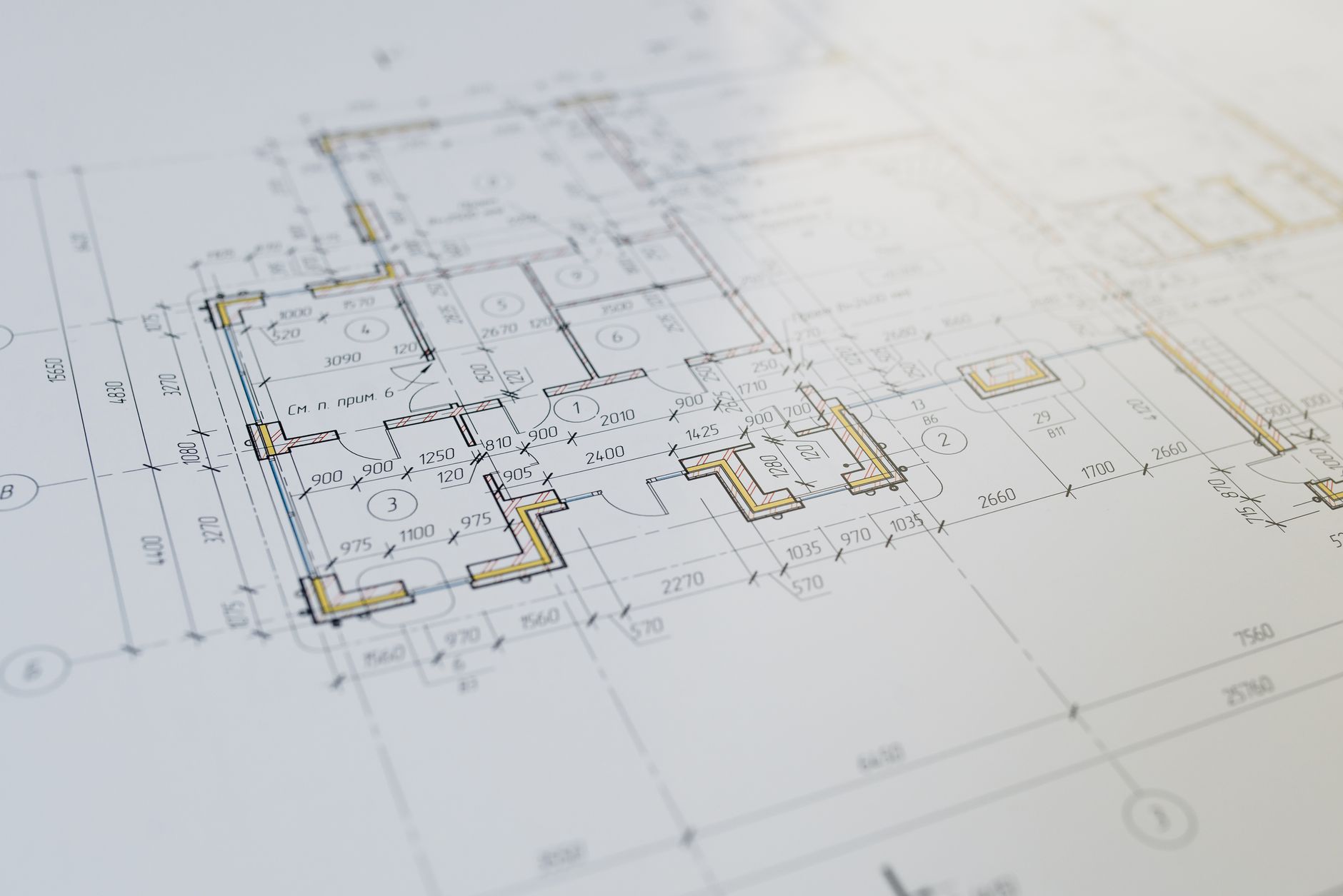
Construction staking translates approved design information into physical points, lines and elevations that contractors can build from. What gets marked depends on the project phase, the contractor’s work sequence and the level of precision required for the element being installed.
There is no single staking sequence for every site. A building project, roadway improvement and utility extension will organize layout differently. The common principle is that each request must use the current design files, established survey control and a clearly defined construction task.
Before staking: establish and protect survey control
Construction layout depends on horizontal and vertical control. These reference points connect the design coordinates and elevations to the physical site. Control may be established before major construction begins and supplemented as work progresses.
The project team should confirm the coordinate system, vertical datum and governing plan set before layout starts. Contractors also need to understand which control points must be protected. Clearing, excavation and equipment traffic can destroy poorly coordinated control, forcing it to be re-established.
Phase 1: clearing, demolition and rough grading
Early layout may identify clearing limits, demolition limits, property constraints, erosion-control locations, construction limits or grading references. The exact marks depend on the approved plans and the contractor’s preferred method of working.
Rough-grading stakes commonly communicate horizontal location and elevation information for cuts, fills, slopes, pads, roads or drainage features. They do not replace the contractor’s responsibility to interpret the plans and control construction methods.
Before requesting grading stakes, confirm:
- The grading plan is approved for construction.
- The contractor has identified the areas and sequence to be staked.
- Existing marks will remain visible and accessible.
- Requested offsets and stake labeling are understood.
Phase 2: underground utilities and drainage
Utility layout may include storm drainage, sanitary sewer, water, power, communications or other systems shown in the construction documents. Surveyors may mark structures, alignments, bends, crossings, connection points and design elevations.
Utility staking requires a clear request. “Stake the storm system” may not explain whether the contractor needs centerline points, structure centers, offsets, rim elevations, invert information or intermediate points along the alignment.
Design changes are especially important at this phase. A revised utility profile or structure location can invalidate marks placed from an earlier plan. The surveyor should receive the current files before every staking mobilization.
Phase 3: foundations and primary structures
Building layout may progress from general building corners or excavation offsets to footings, foundation walls, anchor bolts, grid lines or other structural control. The required precision and checking process increase as the work moves from earthwork to permanent construction.
The staking request should identify the governing architectural and structural information, required offsets, accessible surfaces and the construction activity that follows. The contractor should verify that forms and working areas are ready before the crew arrives.
For multi-building or phased projects, naming conventions matter. Building, grid and elevation references should match the plans so the field marks cannot be confused with another phase or structure.
Phase 4: curbs, pavement and site improvements
Later site layout may include curbs, sidewalks, retaining walls, pavement, lighting, landscaping features, accessible routes and other improvements. These elements often depend on completed grading and installed utilities, so their sequence should be coordinated with actual field conditions.
Contractors may request points at changes in alignment, grade breaks, curves, ramps, walls or structures. The proposal and staking request should define the density of points and whether offsets, cut-and-fill information or reference elevations are required.
Phase 5: vertical construction and specialty layout
Some projects require continuing layout within or around the structure. The surveyor’s role may include transferring control, checking grid relationships, laying out specific structural elements or supporting specialty contractors.
This work should be scoped separately from general site staking. Required tolerances, surfaces, access, sequencing and responsibility for interpreting fabrication or shop drawings need to be clear before mobilization.
Phase 6: as-built and record measurements
As-built surveying measures selected improvements after installation. It documents actual location or elevation; it does not, by itself, certify that every aspect of construction complies with every code or contract requirement.
As-built requirements vary by owner, engineer and jurisdiction. They may cover utilities before burial, building location, finished grades, drainage facilities or other completed improvements. Because concealed work cannot always be measured later, the project team should identify as-built requirements before construction begins and schedule observations at the correct time.
What a complete staking request should include
A precise request helps the survey crew prepare the right points and reduces return visits. Each request should identify:
- The specific element or phase to be staked.
- The current approved plan and digital design files.
- The preferred offsets and marking method.
- The date and time the area will be ready.
- Site access, safety and check-in requirements.
- The contractor contact who can answer field questions.
- Existing control or stakes that may have been disturbed.
- Any design revisions issued since the previous visit.
Staking works best as a coordinated production process
Construction staking is not one visit at the beginning of a project. It is a sequence of layout requests tied to the contractor’s actual work plan. The surveyor supplies physical references from the design; the contractor protects those references and builds from the governing documents.
When the plan version, requested marks and site readiness are confirmed before each mobilization, staking can support the schedule without creating uncertainty in the field.